a tidal log book: salt, moon, sun, wind
≈
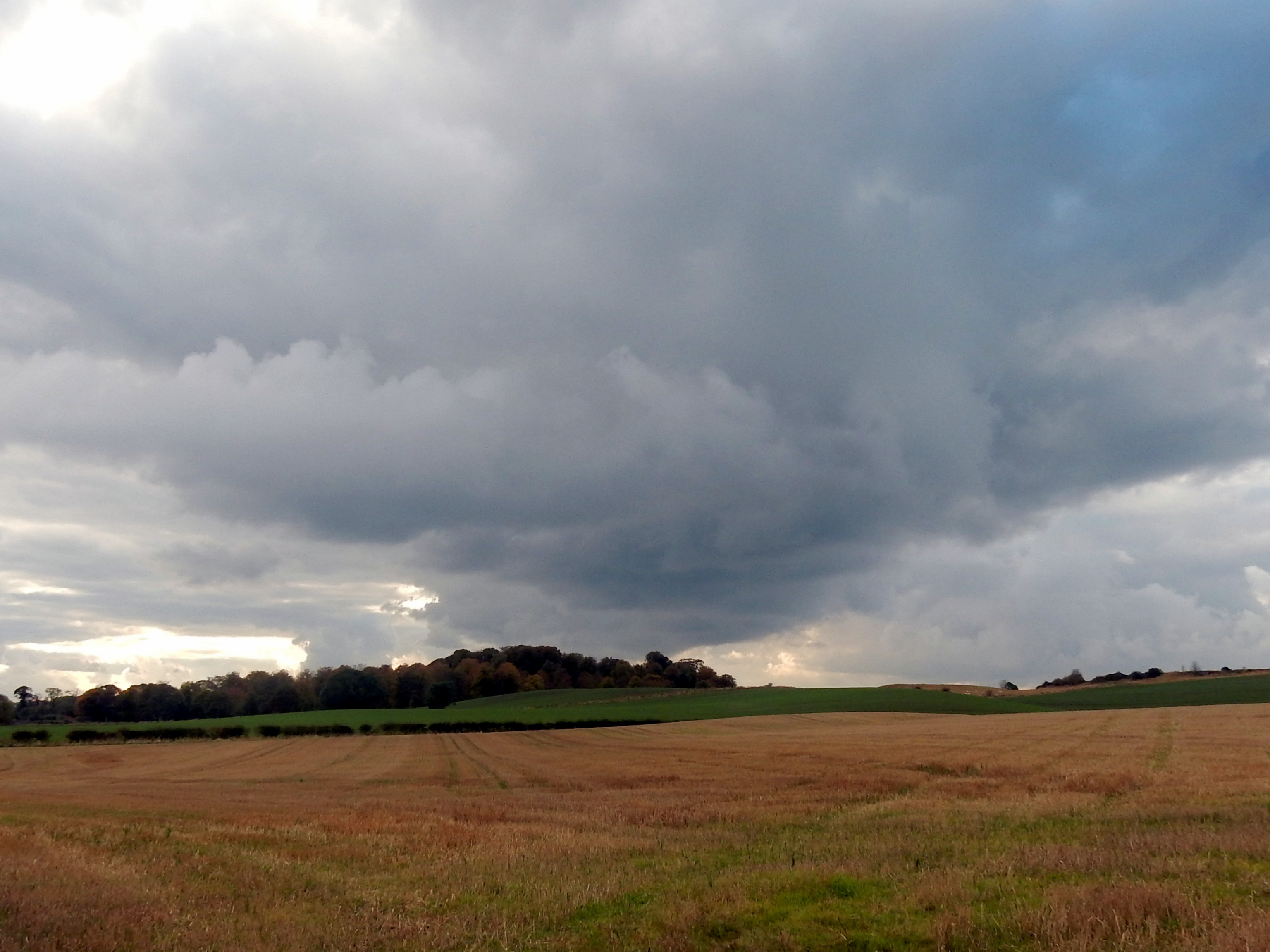
I – Kirkcaldy Harbour
To think of the journeys that have started and ended here.
Safe harbour: a place of refuge or shelter. Arrivals and departures, crossing borders. Time measured in tidal flows. A log book of salt, moon, sun and wind.
≈≈
II – The Space of A Tide
1505 – Four haven masters were appointed and given powers to seize the goods of any skipper who dumped his ballast in the harbour and left it there for longer than the space of a tide.

≈≈
III – To the Isthmus of Panama
One small harbour on the Fife coast, a nodal point in tentacles of international trade, extractive exploitation, colonial ambition and hubris.
1698 – the Company of Scotland raise capital in an attempt to establish a world trading state by establishing a colony named “Caledonia” on the Isthmus of Panama in the Gulf of Darién. Two ships are built in Hamburg – St Andrew and Caledonia which are sent to Kirkcaldy in readiness to sail as part of the first Darien fleet.
The ill-fated scheme started well, with a settlement established at New Edinburgh, but the initiative quickly turned sour. A supply ship was wrecked and the colonists struggled with hot weather and tropical disease. A second expedition which set out the following year fared little better. Out of c. 2,400 Scottish colonists, only around 50 survived the venture. The failed scheme almost bankrupted Scotland and arguably, precipitated the Act of Union in 1707.
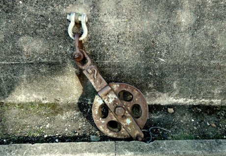
An anchor on the quayside – a question mark. What memories exist in the tidal log book of the day St Andrew and Caledonia sailed out of harbour for Leith, eventually bound for Darien?
≈
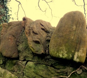
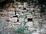
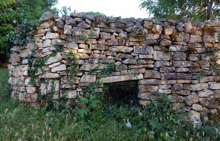
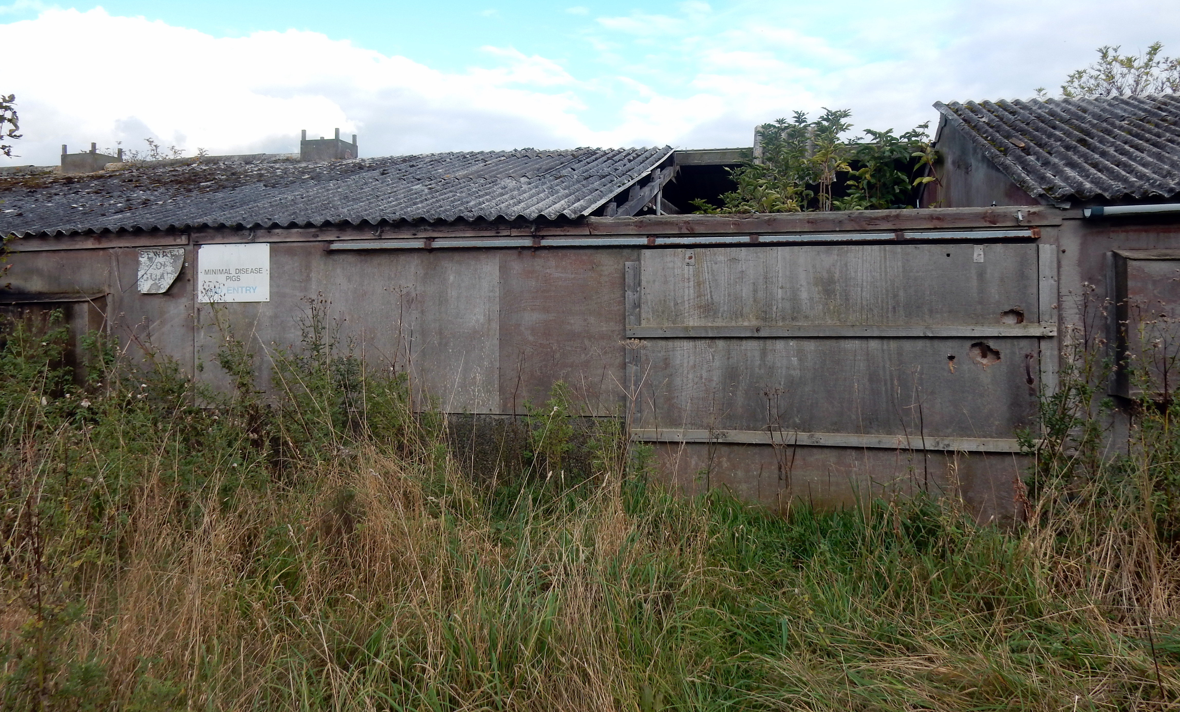
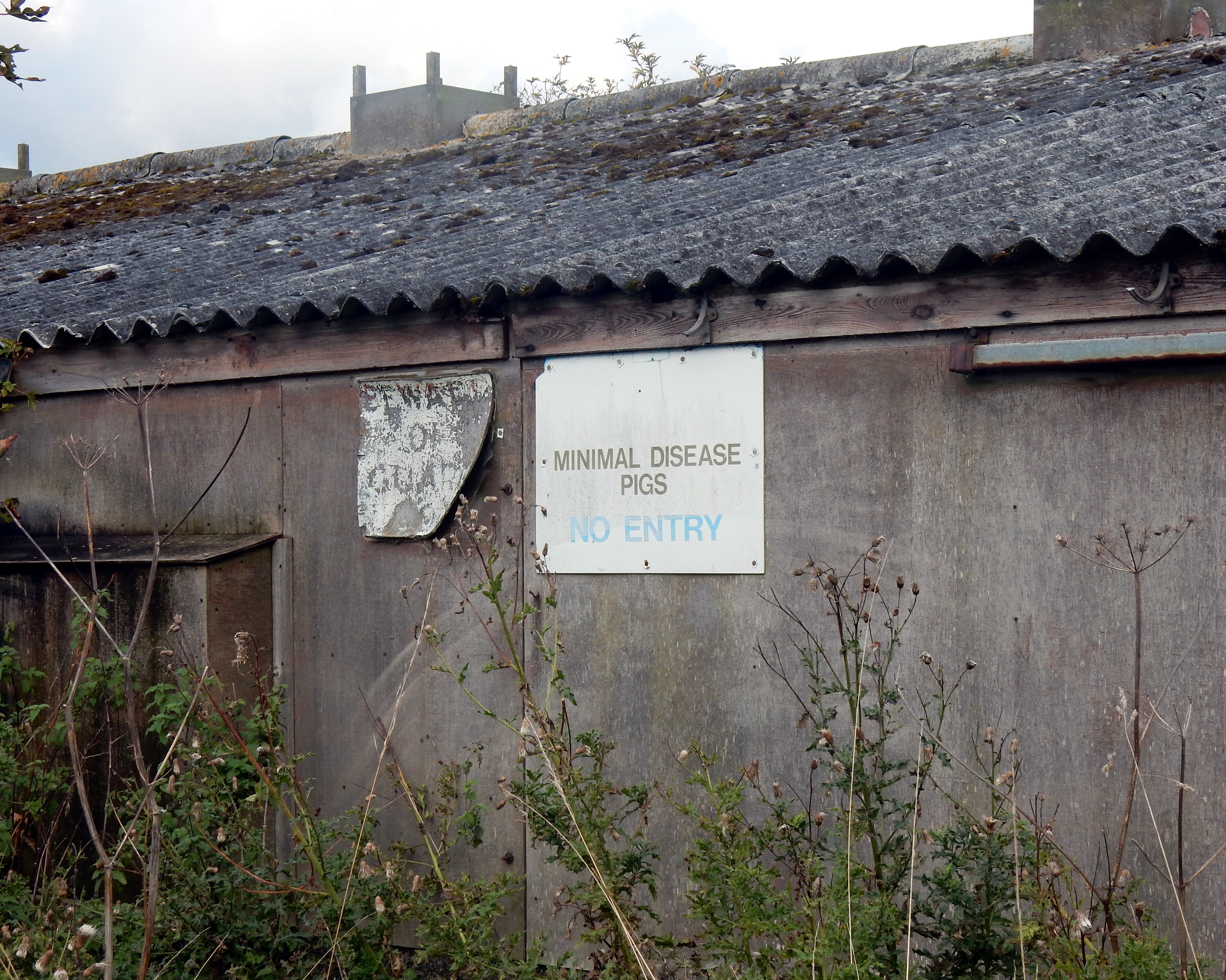
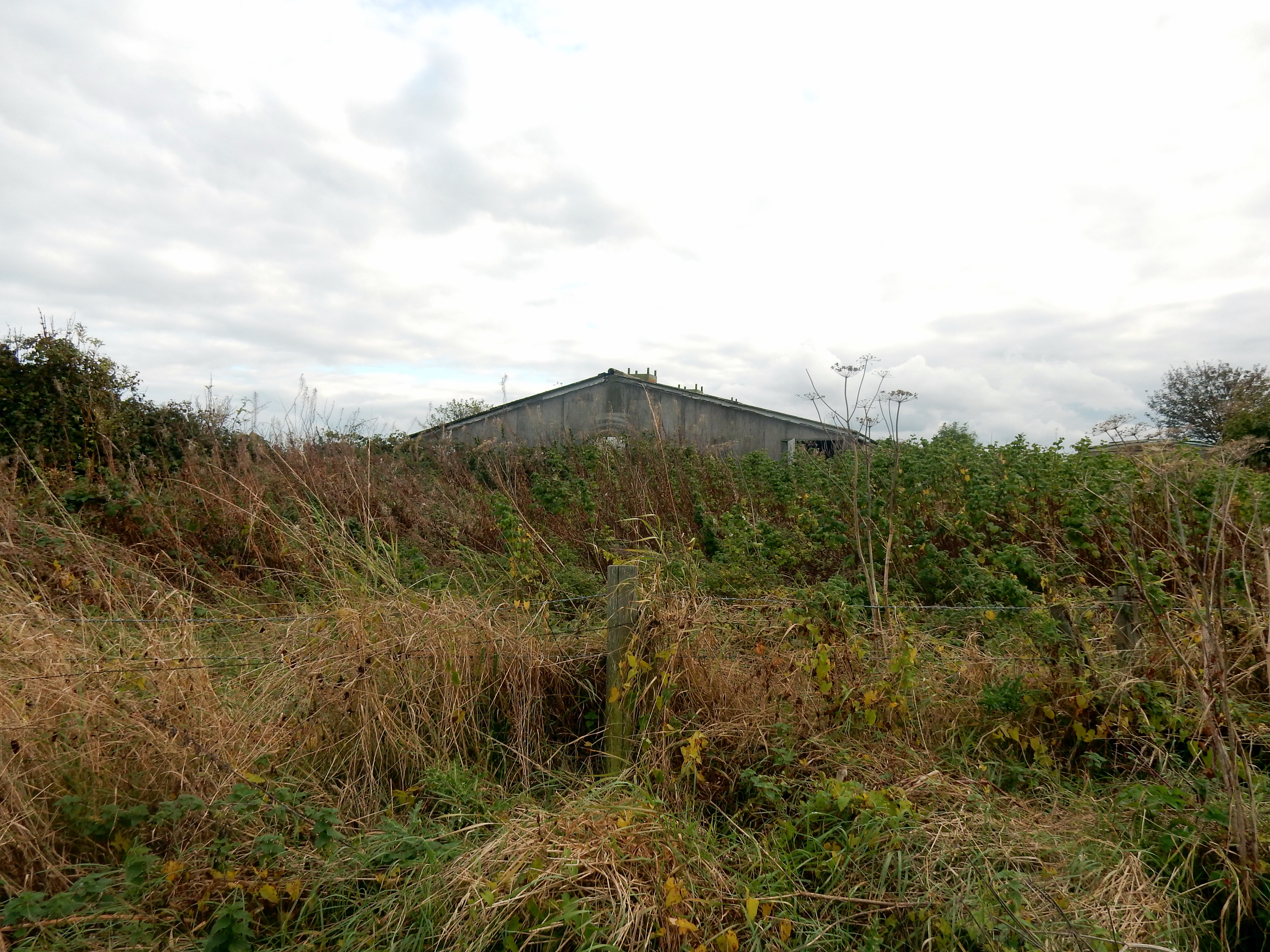
There is little harbour infrastructure visible around the harbourside today, having been largely replaced by a new build housing complex. A weathered warehouse of indeterminate age remains. An image in peeling paint emerges, acting, perhaps as witness, or as a warning to South American dreams, cross-border conquests and colonial expeditions.

a cubist angelfish peels off dreams from the Orinoco basin
≈≈
IV – Chasing Whales and Fortunes in the Arctic

Found arctic map on top of a utilities box
Kirkcaldy’s first whaling ship left harbour in 1813, heading North, searching for whales and fortunes in the arctic. Nearby, on Pathhead Sands, where we will walk shortly, a whale oil ‘manufactory’ was once established.

Found poem: A list of early nineteenth century Kirkcaldy whalers:
Abram
Triad
Rambler
Earl Percy
Chieftain
Majestic
Ravenscraig
Regalia
Viewforth
Lord Gambier
≈
Ice Bound
In 1835, Viewforth left Kirkcaldy for whale grounds near Greenland, in search of blubber and whalebone. Spreading sea ice trapped eleven British ships, in the Davis Strait, including Viewforth. A long winter followed with one of the nearby ships, The Jane, crushed by ice. Ship crews faced the twin threats of frostbite and scurvy. After eleven months, the sea ice eventually loosened and Viewforth managed to sail to Stromness harbour. Six of the crew had died.
1860 – Lord Gambier, Chieftain, and Abram returned to Kirkcaldy with 14 whales, 200 tons of oil, and 14 tons of whalebone.
≈
Sun Dogs, Comets and Irradiated Cloud
The ship’s officer of Viewforth, William Elder, kept a detailed diary of the time the ship was trapped in sea ice. The tone of the diary is generally melancholic, although there are periodic poetic descriptions of natural phenomena witnessed. This includes a spectacular display of sun dogs with the “halo of both sun and moon appearing at the same time in two or three luminous circles”. The Northern Lights are also recorded: “The most brilliant and cheerful spectacle was the aurora borealis which tended to enliven the long gloomy night. These fine works of nature are nowhere to be seen in perfection but in the distant north. We have also seen a beautiful comet-star over these past three nights; it bears NNW of us and has a very bright tail … it’s tail had the appearance of the reflected light of an irradiated cloud”.
≈
Crushed By Ice
1862 – both Abram and Lord Gambier are crushed by ice. Their crews spend four months being looked after by Inuit people before being picked up by another vessel.
On today’s walk around the harbour, a a ghost ship of the old whalers still sails.

≈≈
V – Flows
By the mid 1800s, Kirkcaldy was bound up in the nexus of international trade, trading with North and South America, France, Germany, Scandinavia, The Mediterranean and the Baltic States. The products of Michael Nairn’s expanding floor coverings and linoleum empire was a key export and imports included flax, for the linen mills, timber and in one instance a cargo of Peruvian guano.
At the north end of the harbour, Carr’s Hutchison Mills continues the long established tradition of flour milling on the site. Now a gleaming, state-of-the-art citadel of chrome and steel to bring us our daily bread. In the dock, a general cargo vessel, Kirsten B, sailing under the tax haven flag of St Vincent and the Grenadines, with a home port of Elsfleth in Lower Saxony Germany, unloads it’s imported grain cargo. A reminder of the continuing sea-borne mobility of international capital and commodities in a nexus of trade flows, production, distribution and consumption of material goods.

≈≈
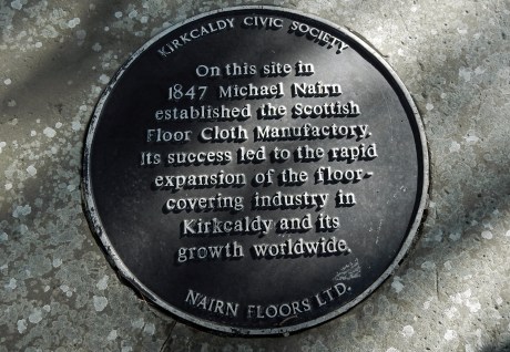
VI – Facade
Directly opposite the harbour, stands a striking industrial façade from 1886. Michael Nairn’s St Mary’s Canvas Works, originally housed 1,870 looms using steam power to produce floor cloth. Nairn had already built an enormous factory – The Scottish Floorcloth Manufactory on the shore at Pathhead in 1847. The size and scale of the building was initially ridiculed and known locally as ‘Nairn’s Folly’. However, Nairn secured the patents for the production of the new floor covering of linoleum and the venture became a huge success. By 1876, linoleum production had become a global industry, centred on Kirkcaldy, with the use of linseed oil in the production process giving the town it’s distinctive smell.

≈≈
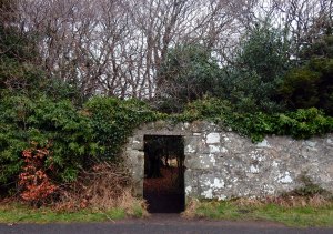
VII – An Ecumenical Square Go?
A little further along the road is another archway remnant. The Dunnikier Union Church was a breakaway from The Free Church of Scotland. Reading the plaque conjures up an image of the aftermath of an ecumenical gang fight with the Dunnikier Union Church leaving the Free Church on The Path.
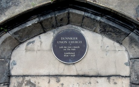
This makes more sense when considering that the road that rises from the harbour up to Pathhhead is indeed the wonderfully named ‘The Path’.

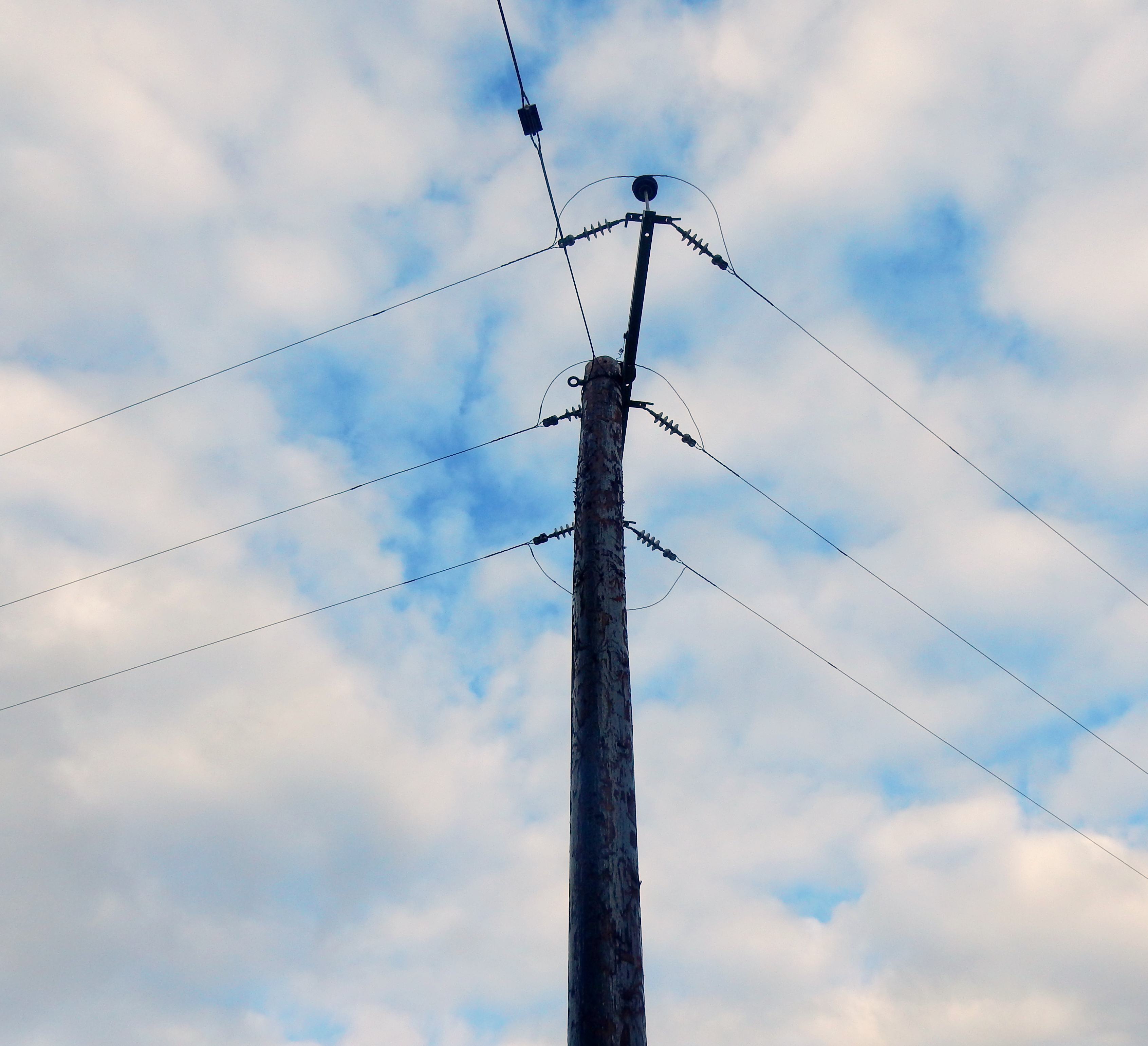
A skeletal structure overhead has replaced the old rail bridge that used to carry the harbour line down a steep incline. On more than one occasion, locomotives ended up in the harbour itself.

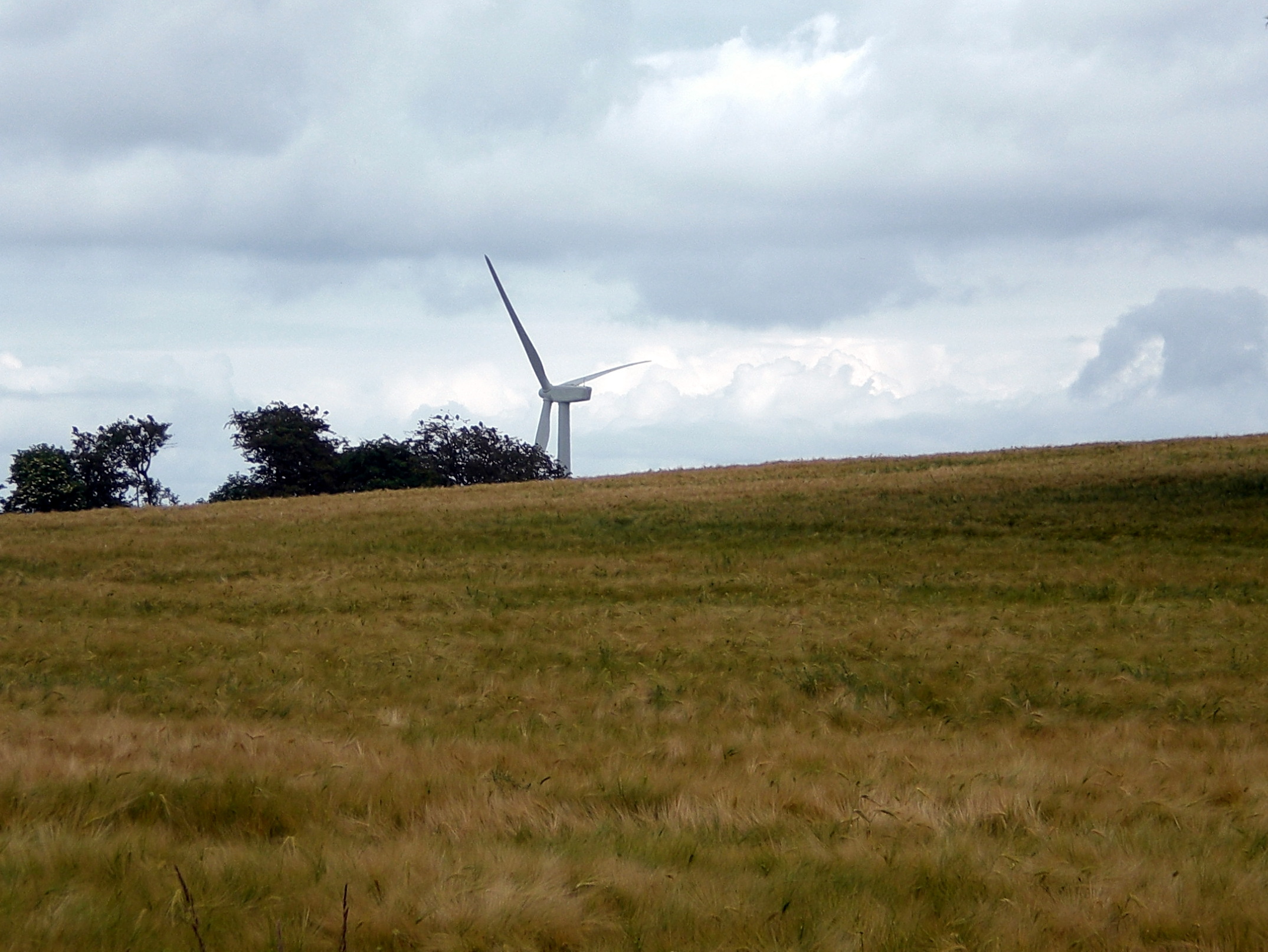
In an echo of St Mary’s steam-powered canvas factory, a rail bridge support column functions as a wind powered canvas in an impressionistic shadowplay of light, and tree movements.

Off to the left, the culverted Den Burn (East Burn) channels down towards the Firth of Forth.

≈≈
VIII – Pathhead
It’s a reasonably challenging gradient up The Path and you enter into Pathhhead, a Burgh of Barony dating back to the sixteenth century, where nail making was the chief occupation. Nails also functioned as a local micro currency known as Pickle Tillem (a measure of nails). The nail makers of Pathhead were studied by Kirkcaldy born, Adam Smith who incorporated his observations into The Wealth of Nations.
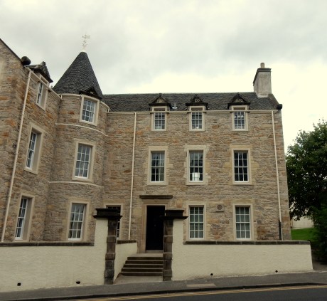
The early days of Pathhead centred around the ‘big hoose’ at the top of The Path, then known as Dunnikier House, now as Path House. Built in 1692 by John Watson of Burntisland, for his bride Euphan Orrock, the house has been renovated fairly recently with the initials of the couple remaining in the small window gables facing south. A variation of a marriage stone which typically acted as a commemoration of the marriage itself, but also as a (sometimes overt) display of rising social advancement. (A significant leg up from lovers carving their initials on a tree trunk). However, the couple had a relatively short stay in the house as Watson fell on hard times after a number of failed business ventures. After being made bankrupt, he was forced to sell the house to the Oswald family in 1703.

rising, setting
a wingbeat
of captured sunlight
≈≈
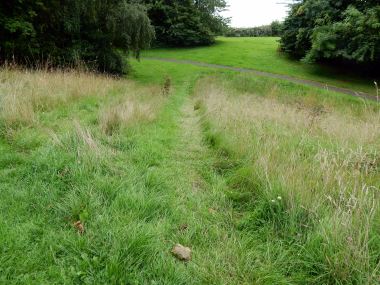
IX – An Absent Folly
Before heading down to Pathhead Sands, we can stand and look over the area where the afore mentioned whaling works would have been and Michael Nairn’s floorcloth and linoleum factory. Other than a heritage plaque to commemorate ‘Nairn’s Folly’, you would have little inkling what once stood here.

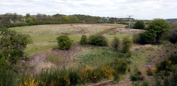
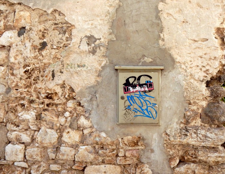
We descend on the road that leads to the sands and enter a quite different zone of feeling. A wall of obligatory graffiti broadcast their semiotic transmissions to whoever cares to listen, before a short desire path leads down to the reclaimed area of a post-industrial landscape.


≈≈
IX – Swifts
For a while we stop and become mesmerised by the kinetic energy of tumbling, scything swifts, simply doing what swifts do. A temporary safe harbour in their borderless world.
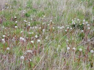
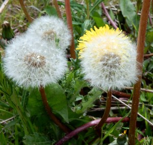
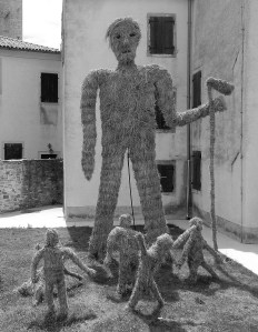
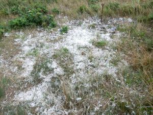
We head off from the landscaped greenery across sandy scrubland to see what the other side of the harbour looks like as it meets the shoreline. We pass the enigmatic presence of a substance that could either be plant based or fine down feathers. But so much of it in only one location? The remnants of some bizarre pillow fight ritual on the sands? No-one wants to pick up the material for a closer look.
The white feather/plant enigma?

≈≈
X – The Ultimate Safe Harbour
[Carlo Scarpa] understood that the past is not dead and that we in the present must engage and intertwine with it.
Reaching the other side of the harbour somehow conjures up long forgotten images seen of Carlo Scarpa’s Brion Cemetery, perhaps the ultimate safe harbour and border crossing. It feels as if the sky is pressing down on the granular heft of angled greys and reflective still water.

place a slab of sky
on
solid / angled / calm
≈
XI – Energy Zone
Overhead, the non-human world is fully engaged with life and in contrast to the speed freak swifts, squadrons of seabirds soar, fall and ride the currents of the buffeting shoreline wind.

watching the rise (the fall)
the fall (the rise)
It is clear that we have entered an energy zone.

As we approach the shoreline an energy antenna conducts the circulating coastal energies. With Bass Rock and Berwick Law, distant on the horizon, a triangular energy field pulls us into an expanded world. Bardic bird yells, brine on the tongue and buffeting sea breezes whip up folding white breakers that fizz over the sand.
≈≈
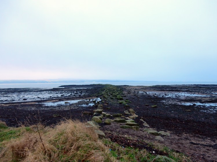
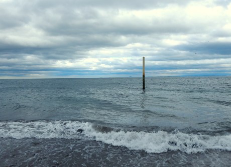
XII – Pathead Sands
As we walk along the shore, four structures, stretching skyward, puncture the northern skyline. Three high-rise flats and a castle all bearing the same name: Ravenscraig, Ravens Craig – rock of the ravens.

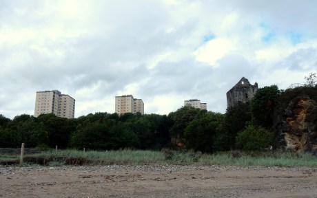
Four Ravens on the cliff to the to the north and to the south, looking across the Firth of Forth, the red-needle stabs of oystercatchers counterpoint the rhythms of the breaking waves.

The only ships we see passing this afternoon are bulk crude oil carriers, likely heading for the Grangemouth petrochemical complex, home of the Anthropo-obscene Rorschach Test. More arrivals and departures recorded in the tidal log book.
The aggressive wind summons up another local story of when John Paul Jones, the Yankee privateer, and founder of the American Navy, dropped anchor in the Forth in 1778. This caused much concern and fear that he was about to unleash cannon fire on Kirkcaldy and plunder anything of value. The story goes that a local church led by the Rev. Robert Shirra congregated on the sands and prayed for help to thwart the marauding Yankee. Apparently their prayers were answered when a fierce storm blew up into a turbulent gale, resulting in Jones pulling up anchor, retreating and being blown back down the Forth.
≈≈
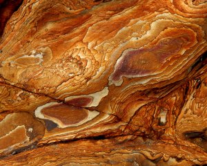
XIII – Deep Time Transmissions

Underneath the castle, clambering over some huge rock formations, the ground appears to be melting underfoot in spectacular configurations of psychedelic rocks. Stare long enough and the whorls, swirls and solidified sediment begin to coalesce into a magic eye painting. Deep time itself coming into focus, passing through the present, projecting into a deep future.


On first glance, a sealed off cave at the bottom of the cliff looks innocuous enough, intriguing even, yet this is the location of a terrible tragedy which occurred on Hansel Monday, 1740. A group of youngsters had been playing hide and seek and several had taken refuge deep in the cave, believing they were ‘safe’. Without warning, the roof of the cave collapsed on top of them and ten children were killed.


Reflecting that even safe harbours can harbour danger, we cast a last look back along the sands towards the Lang Toun before a set of steps leads us up towards the castle, past an impressive beehive type Dovecot.


≈≈
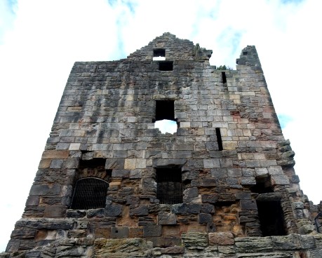
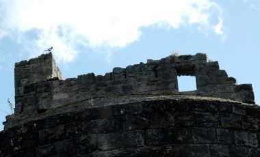
XIV – Ravenscraig Castle
Seen from the beach below, it looks like “a protruding shin bone sticking out of the soil of the dead past,” —as strangely bedded and neighboured as the hulk of some anti-diluvian mammoth that has been uncovered on the bank of a Siberian stream.”
(John Geddie, The Fringes of Fife (1894)
I see the land of Macbeth, so when shall we two meet again, in thunder, lightning or in rain?’
(Joseph Beuys in a letter to Richard Demarco)
Witches on the battlements, a raven’s croak
The looming tower of Ravenscraig Castle does conjure up something of a protruding shin bone and the aura of the land of Macbeth. Indeed, Macduff was the Thane of Fife and the ruined castle of the Earls of Fife, Macduff Castle, lies a short distance along the coast at East Wemyss.
Richard Demarco, the artist, curator and general cultural agitator, has long been a champion of the arts in Scotland forging cross-cultural and cross-border relationships with many Central and East European artists including his long collaboration with Joseph Beuys whom he introduced to ‘the land of Macbeth’. Beuys subsequently became fascinated and inspired by Scottish culture, myth and landscape, visiting the country eight times before his death in 1986.
In 1996, Demarco brought an open air production of the Scottish play to Ravenscraig Castle, staged by the Belarus State Theatre directed by Valery Anisenko. Full use was made of the castle environs and the not untypical Fife weather presented a challenge to a number of critics ill-prepared for the torrential rain running up the Forth. One critic bemoaned the fact that Kirkcaldy at the end of August does not quite enjoy “the same balmy climate as Verona or Epidaurus or other places where the classical drama is performed in the open air”. It became cool, then chilly, then cold, then finally freezing”.
≈≈
XV – The 39 Steps?

Local folklore claims that John Buchan named his novel The Thirty-Nine Steps after the path that leads down by the east side of the castle to Pathhead Sands. A similar claim relates to a set of steps in Broadstairs, where the final scenes of the novel take place. Both sets of stairs have more than thirty nine! However, Buchan’s father was a Free Church of Scotland minister and Buchan spent most of his formative years in Kirkcaldy. His novel Prester John opens with a scene on Pathhead Sands, with Kirkcaldy thinly disguised as Kirkcaple.
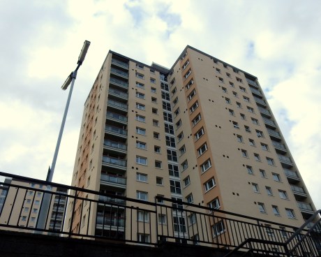
At the top of the steps, we pass a Tetris landfall, scattered like a delinquent Carl Andre sculpture. An underpass records a purple heart addressed to unknown others, perhaps all of us.We exit under the shadow of the towering, human built cliffs of the Ravenscraig flats.


≈≈
XVI – To Turn the Face Towards Home
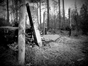
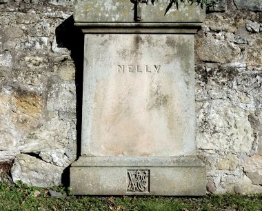
Crossing over Nether Street, a small, ancient graveyard looks out over the castle walls. Many of gravestones are so badly weathered and eroded that the names of the plot occupants have completely disappeared. The mute stones a presence of absence. We ponder on the life and circumstances of ‘Nelly’ one of the few well preserved headstones but offering minimal detail.
A carved anchor and message on a sailors grave indicates that it’s time to start heading for safe harbour.


As we head back to The Path and ponder what ‘home’ meant for sailors who could spend months or years at sea at a time, a solitary magpie standing sentinel on the castle tower, rattles out it’s call across the Forth.
Perhaps it tells the tale of a ghost ship, long lost in the tidal log book, sailing up the Forth looking for safe harbour.

(Mural depicting a late sixteenth or early seventeenth-century galleon, Merchant’s House, Kirkcaldy).
≈≈
A related walk also featuring The Path can be found here: Two Hours in the Lang Toun
≈≈≈
Now Playing: Porter Ricks – Harbour Chart
Key References:
Richard Demarco, A Unique Partnership: Richard Demarco Joseph Beuys (Edinburgh: Luath Press, 2016)
John Geddie, The Fringes of Fife (Edinburgh: David Douglas, 1894)
Carol Mc Neill, Kirkcaldy Harbour: An Illustrated History (Stroud: Amberley Publishing, 2018))
Various publications of Kirkcaldy Civic Society.